The Search for Accessible Global Port Data
Finding reliable, free, and up-to-date information on the world's seaports proved surprisingly difficult for developer Zahid Rahman. Existing resources were often behind paywalls, required inconvenient sign-ups, or presented data in outdated formats. Rahman identified a critical gap: a need for a clean, accessible list of global seaports, complete with essential details like real depths, precise coordinates, and the standardized codes used in maritime shipping. This scarcity of readily available data spurred the creation of a personal project that evolved into a valuable public resource.
Building The Port Index from Public Domain Sources
Rahman's solution, christened The Port Index (theportindex.online), leverages publicly available government data, eliminating the need for costly licensing fees or complex web scraping. The project meticulously integrates information from three primary public domain sources:
- NGA World Port Index (Pub 150): This foundational U.S. government dataset provides details on approximately 4,000 ports. Each entry includes over 100 coded attributes, such as water depths, maximum vessel size, pilotage availability, and berthing information.
- U.S. Board on Geographic Names (BGN) Database: This source contributes a comprehensive list of geographic features, including airports, with their official names and coordinates.
- OpenFlights Airport Database: This dataset offers a broad collection of airport information, further enriching The Port Index with details on thousands of aviation hubs worldwide.
By consolidating and cleaning data from these authoritative, public domain sources, Rahman has created a unified dataset that is both comprehensive and trustworthy. The process involved significant data wrangling to ensure consistency and accuracy across disparate sources.
The Scope and Features of The Port Index
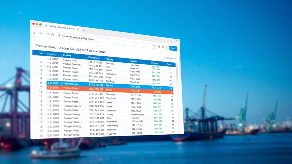
The result of this effort is a robust, free-to-use online index that currently features 3,804 seaports and 9,640 airports. Users can access this information without any requirement for signup or payment. A key feature is the full dataset's availability for download in both CSV and JSON formats, empowering developers and researchers to integrate this data into their own applications and analyses.
The searchable interface allows users to quickly locate specific ports or airports by name, code, or geographic region. This accessibility is a direct response to the initial problem Rahman encountered – the difficulty in finding such data easily. The project demonstrates the power of aggregating and presenting public data in a user-friendly format, making it accessible to a broader audience.
Data Aggregation and Cleaning Challenges
Transforming raw public domain data into a clean, searchable index is not without its challenges. The primary hurdle involves data harmonization. Government datasets, while public, often use different schemas, naming conventions, and data formats. For instance, port depths might be recorded in meters in one dataset and feet in another, requiring careful unit conversion. Similarly, coordinate systems might vary, necessitating accurate geodetic transformations.
Another significant aspect of the project was data validation and deduplication. Ensuring that entries from different sources refer to the same physical location and that duplicate entries are identified and merged or removed is crucial for data integrity. Rahman likely employed various techniques, such as fuzzy matching on names and comparing coordinate proximity, to achieve this. The sheer volume of data—over 13,000 entries combined—underscores the effort required for meticulous data cleaning and standardization.
Implications for Developers and Researchers
The creation of The Port Index has significant implications for various user groups. Developers building applications related to logistics, maritime tracking, travel, or geographical information systems now have a readily available, high-quality dataset. Instead of spending time and resources on data acquisition and cleaning, they can directly leverage this resource, accelerating their development cycles.
For researchers in fields such as supply chain management, transportation, or urban planning, the index offers a valuable tool for analysis. The ability to download the raw data allows for deeper dives into global infrastructure, trade routes, and accessibility. This project highlights a common pattern in software development: identifying a personal need and building a solution that, due to its utility, becomes a valuable resource for a wider community.
The Value of Open Data Initiatives
The Port Index stands as a testament to the power and importance of open data initiatives. Government agencies worldwide collect vast amounts of information that, when made accessible and usable, can fuel innovation and provide significant societal benefits. Rahman's project exemplifies how individuals can take public data and transform it into practical tools, democratizing access to information that was previously siloed or expensive.
The initiative directly addresses the market gap identified by Rahman, offering a free alternative to commercial data providers. This approach not only benefits users but also encourages further development and utilization of public datasets. The success of The Port Index underscores a broader trend: the increasing value derived from open, well-maintained datasets in the age of big data and AI, where access to accurate information is a critical competitive advantage.