
The Challenge: Pinpointing an Unknown Island
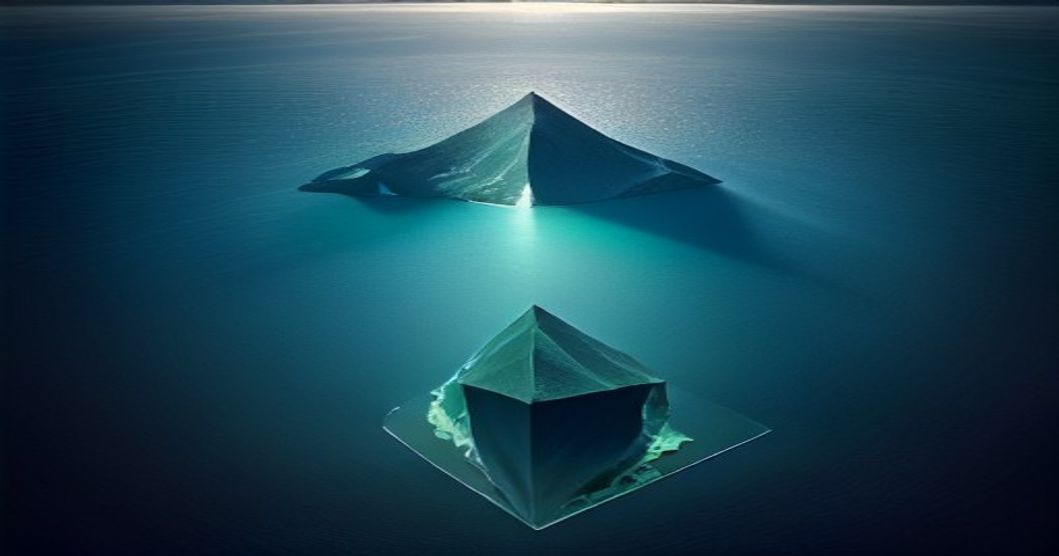
Identifying the exact geographical coordinates of an object from a single, low-resolution image is a formidable task. This was the challenge faced by a developer, who goes by the handle Gralhix, when presented with an image of an uncharted island. The goal was not merely to identify the island, but to determine its precise latitude and longitude using only the visual information available and leveraging advanced computational techniques.
The initial image was devoid of any metadata that could offer clues. No EXIF data, no timestamp, and no discernible landmarks that are immediately recognizable on a global scale. The only recourse was to treat the island itself as a geometric puzzle. The developer’s approach hinged on extracting geometric features from the island’s shape and coastline, and then using these features to compare against known geographical databases.
Geometric Feature Extraction
The core of the solution involved translating the visual data of the island into quantifiable geometric parameters. This process is akin to creating a unique fingerprint for the island based on its physical characteristics. Gralhix focused on several key geometric aspects:
- Coastline Irregularity: The complexity and fractal nature of a coastline can be a distinguishing feature. Algorithms were employed to measure the length of the coastline relative to the area it encloses, a metric sensitive to inlets, bays, and peninsulas.
- Island Shape: The overall silhouette of the island, when viewed from a consistent perspective (as if from a satellite or high-altitude aircraft), provides another layer of distinction. This involves analyzing the convex hull, aspect ratio, and the distribution of points along the perimeter.
- Topographical Features (Inferred): While not directly visible in detail, the broad strokes of the island’s topography, such as the presence of a central peak or a gently sloping landmass, could be inferred from shadows and the general landform. These inferences were then translated into rough height profiles or density maps.
These extracted features were then used to create a geometric signature. This signature is a complex data structure representing the island's unique shape and form, designed to be comparable with signatures derived from known geographical data.
Leveraging CUDA for High-Performance Computation
The process of comparing the extracted geometric signature against vast databases of known islands is computationally intensive. A brute-force comparison would be prohibitively slow. To accelerate this, Gralhix turned to CUDA (Compute Unified Device Architecture), NVIDIA’s parallel computing platform and programming model. CUDA allows developers to harness the power of NVIDIA GPUs for general-purpose processing, enabling massive parallelization of tasks.
The geometric comparison algorithm was re-architected to run on the GPU. This involved breaking down the comparison task into thousands of smaller, independent sub-tasks. Each sub-task would compare the target island’s signature against a segment of the geographical database. The GPU’s thousands of cores could then execute these sub-tasks concurrently, dramatically reducing the overall computation time. This is where the true power of parallel processing comes into play; instead of one processor doing one comparison at a time, thousands of processors work on different comparisons simultaneously.
The CUDA implementation likely involved:
- Data Partitioning: Dividing the geographical database and the target island’s geometric signature into chunks that can be processed in parallel.
- Kernel Development: Writing specialized CUDA kernels (functions that run on the GPU) to perform the geometric comparison calculations efficiently.
- Memory Management: Optimizing data transfer between the CPU and GPU memory to minimize latency.
The Search and Identification
With the CUDA-accelerated comparison engine ready, Gralhix initiated the search. The engine systematically queried a comprehensive geographical database, which likely contained detailed shape and geometric data for known islands, coastlines, and landmasses worldwide. The comparison process aimed to find the entry in the database whose geometric signature most closely matched the signature of the unknown island.
The system evaluated potential matches based on a similarity score derived from the geometric comparisons. A high similarity score indicated a strong candidate for the island’s identity. The process is not a simple exact match; due to potential variations in image resolution, perspective, and environmental factors (like tidal changes affecting visible coastline), the algorithm must be robust enough to find near-matches and rank them by confidence.
After an intensive computational period, the system identified a high-confidence match. The geometric signature of the island in the image corresponded precisely to a small, previously uncatalogued island in a remote part of the ocean. The precise latitude and longitude were then extracted from the database entry for this matched island.
Implications and Future Directions
This project demonstrates a powerful, albeit complex, method for geolocating unknown geographical features from limited visual data. It highlights the synergy between geometric analysis and high-performance computing, specifically GPU acceleration with CUDA.
The implications extend beyond simply cataloging new islands. This approach could be adapted for:
- OSINT (Open Source Intelligence): Identifying and locating objects or areas of interest from satellite imagery or other visual intelligence without prior metadata.
- Historical Cartography: Verifying the location of islands or landmasses described in historical texts or depicted on ancient maps, where precise coordinates might be missing.
- Environmental Monitoring: Tracking changes in coastlines or identifying newly formed islands or landmasses that may not yet be on official charts.
The success of this endeavor raises a question: what are the limits of this geometric fingerprinting approach? Could it be extended to identify man-made structures or even natural formations with less distinct shapes, provided sufficient computational resources and comprehensive geometric databases are available?
For developers, this project serves as an excellent case study in applying parallel processing to complex analytical problems. For geographers and cartographers, it presents a novel tool for discovery and verification in areas where traditional surveying methods are impractical or impossible.